Description
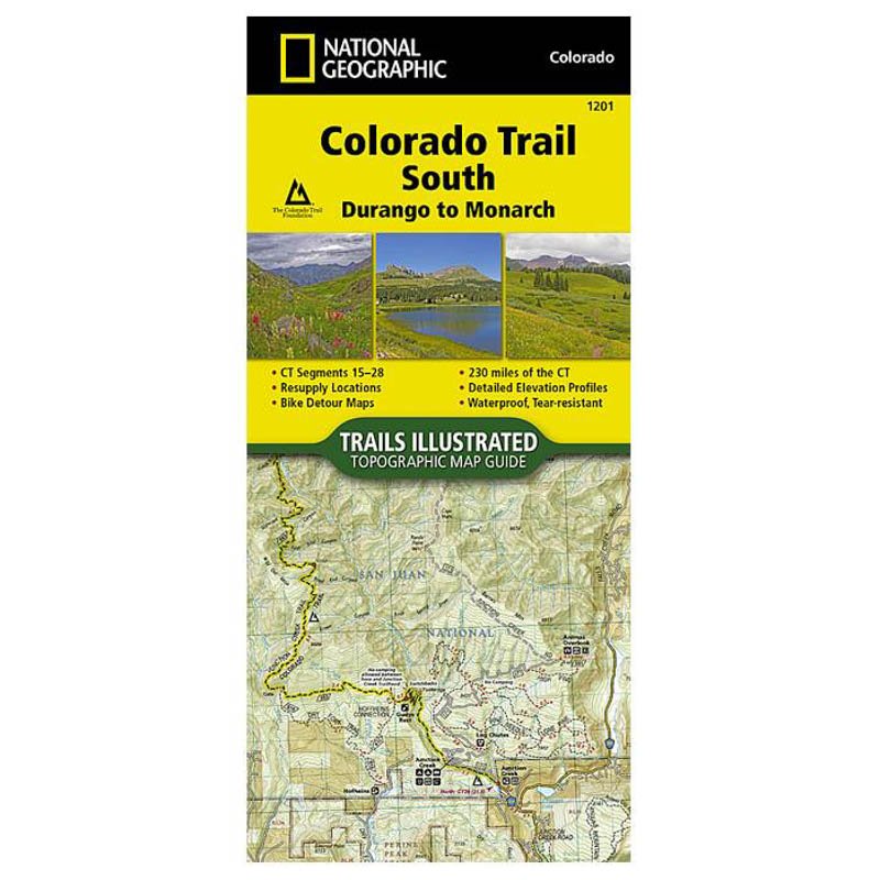
When The Colorado Trail is traversed from its southern terminus outside of Durango it climbs steeply into the San Juan Mountains where it stays above 10,000 feet for almost 150 miles with only a single steep decent to the Animas River near Silverton. The highest point on the trail is found in the San Juan Mountains at 13,271 feet. After leaving the San Juan Mountains, the trail travels for a short time below 10,000 feet before once again climbing into the Sawatch Range and joining The Colorado Trail North and Collegiate Loop. Each page is centered on the trail and overlaps with adjacent pages so there is little chance of getting lost. Along the bottom of each page is a trail profile that shows the distance between passes, camping areas, and trail access points. The map and trail profile provide a step by step visual guide to hiking the trail, mile by rugged mile.


What others are saying
There are no contributions yet.